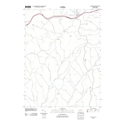
2010 Map of Claysville
USGS Topo · Published 2010About this map
Claysville sits at the northern edge of this landscape, where the Dutch Fork drainage defines the local geography. The area's agricultural and rural character is clearly mapped through an extensive network of ridge roads, including Beham Ridge Rd and Burnsville Ridge Rd, which follow the high ground between numerous stream valleys. Genealogy researchers will find several well-documented burial grounds, such as Saint James Cemetery near the western border and the Trussel Cemetery in the southeast.
Find a feature on this map
75 named features on this map. Tap any name to fly to it.
Don’t see what you’re looking for? This feature index may not catch every label — zoom into the map to look around manually.
Map Details
Editions of this 2010 Claysville Map
This is the sole edition of this map. No revisions or reprints were ever made.
Other maps of this area

1902 · Wheeling
USGS Topo · 1:62,500

1904 · Cameron
USGS Topo · 1:62,500

1905 · Rogersville
USGS Topo · 1:62,500

1907 · Claysville
USGS Topo · 1:62,500

1935 · Cameron
USGS Topo · 1:62,500

1935 · Wheeling
USGS Topo · 1:62,500

1942 · Cameron
USGS Topo · 1:62,500

1942 · Wheeling
USGS Topo · 1:62,500

1949 · Clarksburg
USGS Topo · 1:250,000

1951 · Canton
USGS Topo · 1:250,000
Featured Places
- East Finley Township, PA
- West Finley Township, PA
- Claysville, PA
- Donegal Township, PA
- Coon Island, Donegal Township