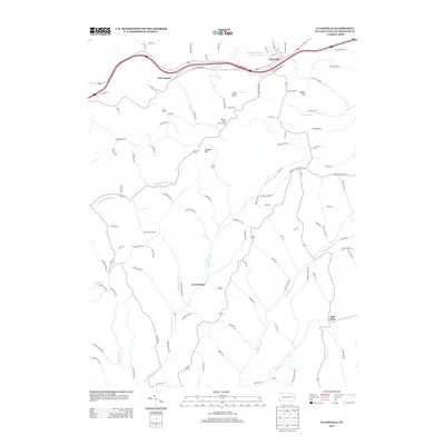
2013 Map of Claysville
USGS Topo · Published 2013About this map
Claysville sits along the northern edge of this Washington County landscape, where the historic Old National Pike parallels the modern interstate. The terrain is defined by a dense network of streams and ridges, including Robinson Fork, Templeton Fork, and Middle Wheeling Cr, which carve through the rural countryside. Small settlements like Coon Island and the evocatively named Good Intent anchor the central and western portions of the sheet, connected by a web of named secondary roads that trace the winding topography.
Find a feature on this map
104 named features on this map. Tap any name to fly to it.
Don’t see what you’re looking for? This feature index may not catch every label — zoom into the map to look around manually.
Map Details
Editions of this 2013 Claysville Map
This is the sole edition of this map. No revisions or reprints were ever made.
Other maps of this area

1902 · Wheeling
USGS Topo · 1:62,500

1904 · Cameron
USGS Topo · 1:62,500

1905 · Rogersville
USGS Topo · 1:62,500

1907 · Claysville
USGS Topo · 1:62,500

1935 · Cameron
USGS Topo · 1:62,500

1935 · Wheeling
USGS Topo · 1:62,500

1942 · Cameron
USGS Topo · 1:62,500

1942 · Wheeling
USGS Topo · 1:62,500

1949 · Clarksburg
USGS Topo · 1:250,000

1951 · Canton
USGS Topo · 1:250,000
Featured Places
- East Finley Township, PA
- West Finley Township, PA
- Claysville, PA
- Donegal Township, PA
- Coon Island, Donegal Township