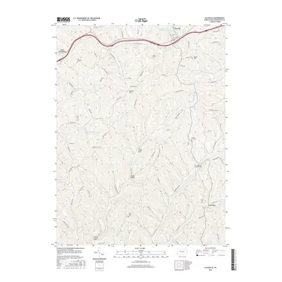
2016 Map of Claysville
USGS Topo · Published 2016About this map
Claysville and West Alexander anchor the northern landscape of this Washington County study, where the historic Old National Pike winds across the Pennsylvania terrain. The map details a rural area defined by the branching waters of Robinson Fork and Templeton Fork, which cut through the ridges near the settlement of Good Intent. One of the most distinctive aspects of this region is the preservation of timber engineering, as evidenced by several historic structures including the Danley Covered Bridge, Scott Brownlee Covered Bridge, and Crawford Covered Bridge.
Find a feature on this map
80 named features on this map. Tap any name to fly to it.
Don’t see what you’re looking for? This feature index may not catch every label — zoom into the map to look around manually.
Map Details
Editions of this 2016 Claysville Map
This is the sole edition of this map. No revisions or reprints were ever made.
Other maps of this area

1902 · Wheeling
USGS Topo · 1:62,500

1904 · Cameron
USGS Topo · 1:62,500

1905 · Rogersville
USGS Topo · 1:62,500

1907 · Claysville
USGS Topo · 1:62,500

1935 · Cameron
USGS Topo · 1:62,500

1935 · Wheeling
USGS Topo · 1:62,500

1942 · Cameron
USGS Topo · 1:62,500

1942 · Wheeling
USGS Topo · 1:62,500

1949 · Clarksburg
USGS Topo · 1:250,000

1951 · Canton
USGS Topo · 1:250,000
Featured Places
- East Finley Township, PA
- West Finley Township, PA
- Claysville, PA
- Donegal Township, PA
- Coon Island, Donegal Township