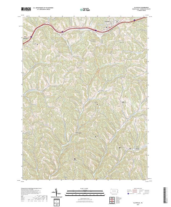
2023 Map of Claysville
USGS Topo · Published 2023About this map
Claysville and West Alexander anchor the northern corridor of this Washington County landscape, where the historic Old National Pike winds through the rolling terrain. The map reveals a dense network of local routes like Burnsville Ridge Rd and Quaker Ridge Rd, connecting the small settlements of Good Intent and East Finley. Numerous burial grounds, including Purviance Cem and the Windy Gap Presbyterian Cem, offer significant detail for genealogical research across the southern reaches of the quadrangle.
Find a feature on this map
87 named features on this map. Tap any name to fly to it.
Don’t see what you’re looking for? This feature index may not catch every label — zoom into the map to look around manually.
Map Details
Editions of this 2023 Claysville Map
This is the sole edition of this map. No revisions or reprints were ever made.
Other maps of this area

1902 · Wheeling
USGS Topo · 1:62,500

1904 · Cameron
USGS Topo · 1:62,500

1905 · Rogersville
USGS Topo · 1:62,500

1907 · Claysville
USGS Topo · 1:62,500

1935 · Cameron
USGS Topo · 1:62,500

1935 · Wheeling
USGS Topo · 1:62,500

1942 · Cameron
USGS Topo · 1:62,500

1942 · Wheeling
USGS Topo · 1:62,500

1949 · Clarksburg
USGS Topo · 1:250,000

1951 · Canton
USGS Topo · 1:250,000
Featured Places
- East Finley Township, PA
- West Finley Township, PA
- Claysville, PA
- Buffalo Township, PA
- Coon Island, Donegal Township