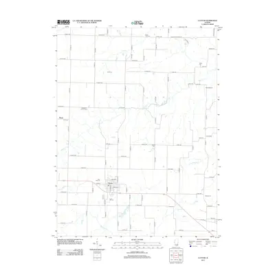
2012 Map of Clayton
USGS Topo · Published 2012About this map
Clayton serves as the primary hub of this eastern Adams County landscape, situated amidst a dense grid of rural roads and waterways. The town is flanked by the West Side Cem and South Side Cem, while the surrounding countryside is dotted with numerous family and community burial grounds, including Meints Cem, Mount Horeb Cem, and Knight Cem. This high concentration of cemeteries suggests a deeply rooted agricultural community with generations of local history tied to the land.
Find a feature on this map
75 named features on this map. Tap any name to fly to it.
Don’t see what you’re looking for? This feature index may not catch every label — zoom into the map to look around manually.
Map Details
Editions of this 2012 Clayton Map
This is the sole edition of this map. No revisions or reprints were ever made.
Other maps of this area

1925 · Liberty
USGS Topo · 1:62,500

1926 · Mt Sterling
USGS Topo · 1:62,500

1927 · Liberty
USGS Topo · 1:62,500

1929 · Mt Sterling
USGS Topo · 1:62,500

1946 · Augusta
USGS Topo · 1:62,500

1948 · Quincy
USGS Topo · 1:250,000

1948 · Camp Point
USGS Topo · 1:62,500

1949 · Augusta
USGS Topo · 1:62,500

1956 · Quincy
USGS Topo · 1:250,000

1958 · Burlington
USGS Topo · 1:250,000