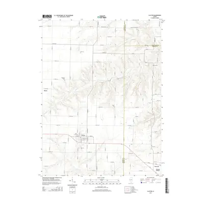
2015 Map of Clayton
USGS Topo · Published 2015About this map
The agricultural landscape of eastern Adams County is defined by the intersection of small prairie settlements and the winding tributaries of the Illinois River basin. Clayton serves as the central hub of this survey, surrounded by a high density of burial grounds including the West Side Cem and South Side Cem, which suggest generations of local family history. The terrain is deeply carved by watercourses such as Missouri Cr and Walnut Fork, creating a complex network of ridges and draws that break up the grid of section roads.
Find a feature on this map
89 named features on this map. Tap any name to fly to it.
Don’t see what you’re looking for? This feature index may not catch every label — zoom into the map to look around manually.
Map Details
Editions of this 2015 Clayton Map
This is the sole edition of this map. No revisions or reprints were ever made.
Other maps of this area

1925 · Liberty
USGS Topo · 1:62,500

1926 · Mt Sterling
USGS Topo · 1:62,500

1927 · Liberty
USGS Topo · 1:62,500

1929 · Mt Sterling
USGS Topo · 1:62,500

1946 · Augusta
USGS Topo · 1:62,500

1948 · Quincy
USGS Topo · 1:250,000

1948 · Camp Point
USGS Topo · 1:62,500

1949 · Augusta
USGS Topo · 1:62,500

1956 · Quincy
USGS Topo · 1:250,000

1958 · Burlington
USGS Topo · 1:250,000