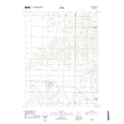
2018 Map of Clayton
USGS Topo · Published 2018About this map
The village of Clayton serves as the focal point of this west-central Illinois landscape, where the agricultural grid meets the drainage systems of Missouri Cr and Walnut Fork. The survey captures the town's layout alongside Lake Clayton, situated near the border of Adams, Brown, and Schuyler Counties. Evidence of early settlement patterns and family genealogy is preserved in the numerous rural burial grounds scattered across the townships, including Mount Horeb Cem, Meints Cem, and the Evangelical Lutheran Cem. To the east, the small communities of Timewell and Mound Station sit along the corridor of Old Hwy 24, illustrating the historical transport network that connected these remote farming hubs. The terrain is defined by the incision of S Fork Cr and Little Missouri Cr into the upland plains, creating a distinct contrast between the flat cultivated sections and the creek valleys.
Find a feature on this map
90 named features on this map. Tap any name to fly to it.
Don’t see what you’re looking for? This feature index may not catch every label — zoom into the map to look around manually.
Map Details
Editions of this 2018 Clayton Map
This is the sole edition of this map. No revisions or reprints were ever made.
Other maps of this area

1925 · Liberty
USGS Topo · 1:62,500

1926 · Mt Sterling
USGS Topo · 1:62,500

1927 · Liberty
USGS Topo · 1:62,500

1929 · Mt Sterling
USGS Topo · 1:62,500

1946 · Augusta
USGS Topo · 1:62,500

1948 · Quincy
USGS Topo · 1:250,000

1948 · Camp Point
USGS Topo · 1:62,500

1949 · Augusta
USGS Topo · 1:62,500

1956 · Quincy
USGS Topo · 1:250,000

1958 · Burlington
USGS Topo · 1:250,000