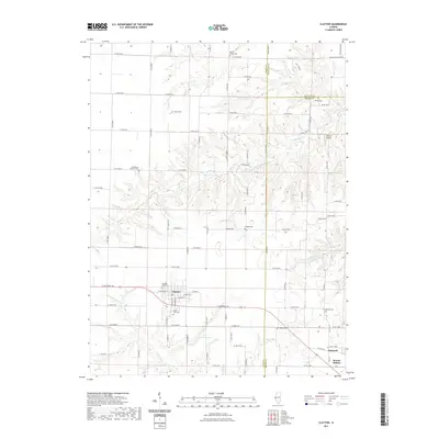
2021 Map of Clayton
USGS Topo · Published 2021About this map
Clayton serves as the primary hub in this West Central Illinois landscape, where the town layout is defined by streets like E Main St and Lafayette St. The map reveals a high density of small, dispersed burial grounds reflecting early settlement patterns, including the Old West Side Cem and South Side Cem immediately adjacent to the village. The surrounding countryside is dissected by the drainage systems of Missouri Cr, Little Missouri Cr, and Walnut Fork, with the man-made Lake Clayton providing a significant water feature south of the main town. To the east, the smaller community of Timewell and the location of Mound Station anchor the eastern edge of the survey near the Brown County line. This 2021 update preserves the exact locations of family and community landmarks like the Knight Cem and Mount Horeb Cem amidst a modern rural road network.
Find a feature on this map
58 named features on this map. Tap any name to fly to it.
Don’t see what you’re looking for? This feature index may not catch every label — zoom into the map to look around manually.
Map Details
Editions of this 2021 Clayton Map
This is the sole edition of this map. No revisions or reprints were ever made.
Other maps of this area

1925 · Liberty
USGS Topo · 1:62,500

1926 · Mt Sterling
USGS Topo · 1:62,500

1927 · Liberty
USGS Topo · 1:62,500

1929 · Mt Sterling
USGS Topo · 1:62,500

1946 · Augusta
USGS Topo · 1:62,500

1948 · Quincy
USGS Topo · 1:250,000

1948 · Camp Point
USGS Topo · 1:62,500

1949 · Augusta
USGS Topo · 1:62,500

1956 · Quincy
USGS Topo · 1:250,000

1958 · Burlington
USGS Topo · 1:250,000