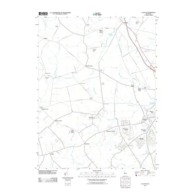
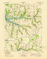
2011 Map of Clayton
USGS Topo · Published 2011About this map
The town of Clayton serves as the primary hub in this portion of Kent County, surrounded by a landscape of established farmsteads and rural crossroads. The area is defined by numerous family-named corners such as Dexter Corners, Reynolds Corners, and Holletts Corners, which mark the historical intersections of the local road network. Agricultural heritage is prominent throughout the quadrangle, evidenced by named operations like Twin Eagle Farms, Johnson Farm, and Cedar Brae Farm.
Find a feature on this map
112 named features on this map. Tap any name to fly to it.
Don’t see what you’re looking for? This feature index may not catch every label — zoom into the map to look around manually.
Map Details
Editions of this 2011 Clayton Map
This is the sole edition of this map. No revisions or reprints were ever made.
Other maps of this area

1899 · Dover
USGS Topo · 1:125,000

1900 · Cecilton
USGS Topo · 1:62,500
1905 · Barclay
USGS Topo · 1:62,500

1906 · Dover
USGS Topo · 1:125,000

1920 · Dover
USGS Topo · 1:125,000

1926 · Wyoming
USGS Topo · 1:48,000

1930 · Wyoming
USGS Topo · 1:62,500
1931 · Wyoming
USGS Topo · 1:62,500
1931 · Smyrna
USGS Topo · 1:62,500
1944 · Cecilton
USGS Topo · 1:31,680