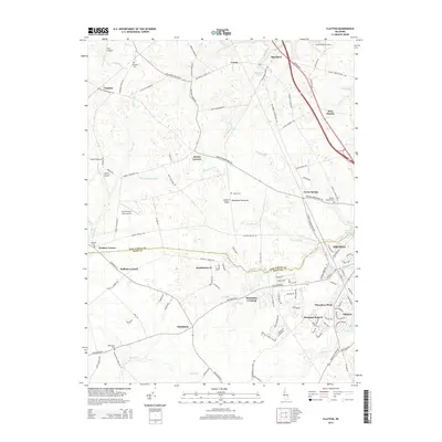
2014 Map of Clayton
USGS Topo · Published 2014About this map
The boundary between New Castle and Kent County bisects this portion of the Delmarva Peninsula, where established agricultural communities meet modern residential growth. The twin centers of Smyrna and Clayton anchor the southeast, showing the intricate street grids that define these historic Delaware towns. Northward, the landscape transitions into a network of small crossroads settlements and family landmarks, including Vandyke, Blackbird, and Delaney Corner.
Find a feature on this map
122 named features on this map. Tap any name to fly to it.
Don’t see what you’re looking for? This feature index may not catch every label — zoom into the map to look around manually.
Map Details
Editions of this 2014 Clayton Map
This is the sole edition of this map. No revisions or reprints were ever made.
Other maps of this area

1899 · Dover
USGS Topo · 1:125,000

1900 · Cecilton
USGS Topo · 1:62,500

1905 · Barclay
USGS Topo · 1:62,500

1906 · Dover
USGS Topo · 1:125,000

1920 · Dover
USGS Topo · 1:125,000

1926 · Wyoming
USGS Topo · 1:48,000

1930 · Wyoming
USGS Topo · 1:62,500

1931 · Wyoming
USGS Topo · 1:62,500

1931 · Smyrna
USGS Topo · 1:62,500
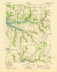
1944 · Cecilton
USGS Topo · 1:31,680