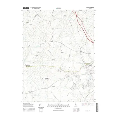
2016 Map of Clayton
USGS Topo · Published 2016About this map
The northern edge of the Delmarva Peninsula where the New Castle and Kent county line divides the landscape, this 2016 survey shows a region of intensive agriculture and small airfields. Scattered across the agricultural plots are several small communities and crossroads such as Delaney Corner, Dexter Corners, and Blackiston. The terrain is drained by numerous small watercourses including Blackbird Cr and Providence Cr, which feed into larger systems near the Sassafras River and Smyrna.
Find a feature on this map
123 named features on this map. Tap any name to fly to it.
Don’t see what you’re looking for? This feature index may not catch every label — zoom into the map to look around manually.
Map Details
Editions of this 2016 Clayton Map
This is the sole edition of this map. No revisions or reprints were ever made.
Other maps of this area

1899 · Dover
USGS Topo · 1:125,000

1900 · Cecilton
USGS Topo · 1:62,500

1905 · Barclay
USGS Topo · 1:62,500

1906 · Dover
USGS Topo · 1:125,000

1920 · Dover
USGS Topo · 1:125,000

1926 · Wyoming
USGS Topo · 1:48,000

1930 · Wyoming
USGS Topo · 1:62,500

1931 · Wyoming
USGS Topo · 1:62,500

1931 · Smyrna
USGS Topo · 1:62,500
1944 · Cecilton
USGS Topo · 1:31,680