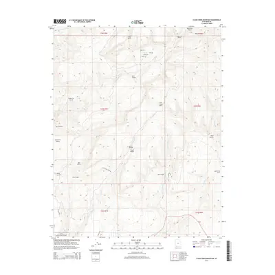
2014 Map of Clear Creek Mountain
USGS Topo · Published 2014About this map
Zion National Park reaches into the southwestern corner of this high-altitude landscape in Kane County, where steep drainage systems carve deep routes through the plateau. A network of canyons and hollows, including Orderville Canyon and Birch Canyon, defines the movement of water toward the N Fork Virgin River in the northwest. The presence of Big Spring and various creeks like Little Meadow Creek suggests reliable water sources that have long influenced the accessibility of this territory.
Find a feature on this map
40 named features on this map. Tap any name to fly to it.
Don’t see what you’re looking for? This feature index may not catch every label — zoom into the map to look around manually.
Map Details
Editions of this 2014 Clear Creek Mountain Map
This is the sole edition of this map. No revisions or reprints were ever made.
Other maps of this area

1886 · Kanab
USGS Topo · 1:250,000

1953 · Cedar City
USGS Topo · 1:250,000

1954 · Orderville Canyon NW
USGS Topo · 1:24,000

1954 · Orderville Canyon SE
USGS Topo · 1:24,000

1956 · Springdale NE
USGS Topo · 1:24,000

1957 · Orderville Canyon NE
USGS Topo · 1:24,000

1957 · Kanab
USGS Topo · 1:62,500

1958 · Cedar City
USGS Topo · 1:250,000

1958 · Orderville
USGS Topo · 1:62,500

1962 · Cedar City
USGS Topo · 1:250,000