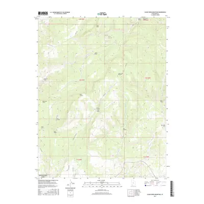
2017 Map of Clear Creek Mountain
USGS Topo · Published 2017About this map
The canyonlands of Kane County are defined here by the massive uplift of Clear Creek Mountain and the deep incisions of Birch Canyon and Orderville Canyon. These high plateaus and drainage systems lead into the northeastern corner of Zion National Park, where the N Fork Virgin River enters the frame. The map documents a landscape of dramatic vertical relief, from the flat expanse of Table Bench to the depths of Englestead Hollow.
Find a feature on this map
36 named features on this map. Tap any name to fly to it.
Don’t see what you’re looking for? This feature index may not catch every label — zoom into the map to look around manually.
Map Details
Editions of this 2017 Clear Creek Mountain Map
This is the sole edition of this map. No revisions or reprints were ever made.
Other maps of this area

1886 · Kanab
USGS Topo · 1:250,000

1953 · Cedar City
USGS Topo · 1:250,000

1954 · Orderville Canyon NW
USGS Topo · 1:24,000

1954 · Orderville Canyon SE
USGS Topo · 1:24,000

1956 · Springdale NE
USGS Topo · 1:24,000

1957 · Orderville Canyon NE
USGS Topo · 1:24,000

1957 · Kanab
USGS Topo · 1:62,500

1958 · Cedar City
USGS Topo · 1:250,000

1958 · Orderville
USGS Topo · 1:62,500

1962 · Cedar City
USGS Topo · 1:250,000