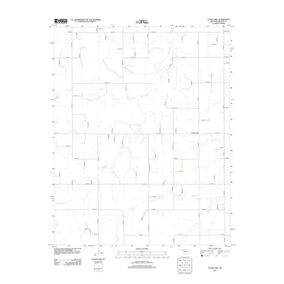
2012 Map of Clear Lake
USGS Topo · Published 2012About this map
Clear Lake serves as the central focal point for this section of the Oklahoma Panhandle, where the high plains are carved by a network of drainage systems. The landscape is defined by the winding paths of Duck Pond Cr and Sand Cr, which provide topographical relief against a strictly organized grid of rural section roads. This 2012 survey illustrates the enduring agricultural layout of Beaver County, where nearly every mile is demarcated by numbered routes like E0180 Rd and N1480 Rd. The intermittent nature of watercourses such as Mexico Cr highlights the arid character of the region, showing how early settlement patterns were dictated by the availability of surface water and the subsequent implementation of the Public Land Survey System.
Find a feature on this map
59 named features on this map. Tap any name to fly to it.
Don’t see what you’re looking for? This feature index may not catch every label — zoom into the map to look around manually.
Map Details
Editions of this 2012 Clear Lake Map
This is the sole edition of this map. No revisions or reprints were ever made.
Other maps of this area

1954 · Perryton
USGS Topo · 1:250,000

1958 · Perryton
USGS Topo · 1:250,000

1970 · Knowles
USGS Topo · 1:24,000

1970 · Mocane SE
USGS Topo · 1:24,000

1971 · Clear Lake NW
USGS Topo · 1:24,000

1971 · Clear Lake SW
USGS Topo · 1:24,000

1971 · Clear Lake
USGS Topo · 1:24,000

1971 · Clear Lake SE
USGS Topo · 1:24,000

1971 · Logan
USGS Topo · 1:24,000

1971 · Logan NW
USGS Topo · 1:24,000