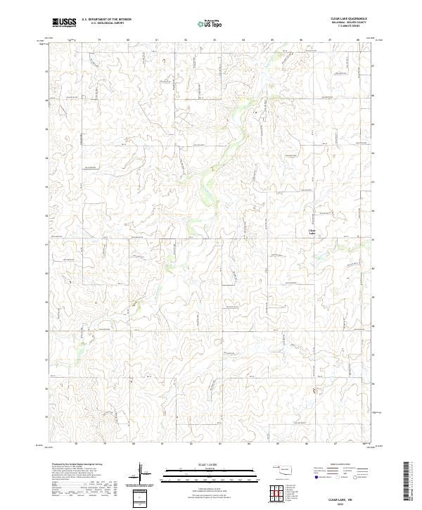
2022 Map of Clear Lake
USGS Topo · Published 2022About this map
Clear Lake sits at the heart of this Beaver County landscape, where the high plains of the Oklahoma Panhandle are deeply etched by a complex drainage system. The terrain is defined by numerous named depressions such as Hollow E0186 and Hollow N1510, which channel intermittent water toward Duck Pond Cr and Mexico Cr. This 2022 survey illustrates a meticulously surveyed grid of section lines, including Ew 22 and NS 153, which dictate the modern movement of cattle and commerce across the shortgrass prairie. The southern portion of the map is marked by the winding course of Sand Cr, showing how water availability continues to shape the ranching boundaries and road networks in this arid corner of the state.
Find a feature on this map
66 named features on this map. Tap any name to fly to it.
Don’t see what you’re looking for? This feature index may not catch every label — zoom into the map to look around manually.
Map Details
Editions of this 2022 Clear Lake Map
This is the sole edition of this map. No revisions or reprints were ever made.
Other maps of this area

1954 · Perryton
USGS Topo · 1:250,000

1958 · Perryton
USGS Topo · 1:250,000

1970 · Knowles
USGS Topo · 1:24,000

1970 · Mocane SE
USGS Topo · 1:24,000

1971 · Clear Lake NW
USGS Topo · 1:24,000

1971 · Clear Lake SW
USGS Topo · 1:24,000

1971 · Clear Lake
USGS Topo · 1:24,000

1971 · Clear Lake SE
USGS Topo · 1:24,000

1971 · Logan
USGS Topo · 1:24,000

1971 · Logan NW
USGS Topo · 1:24,000