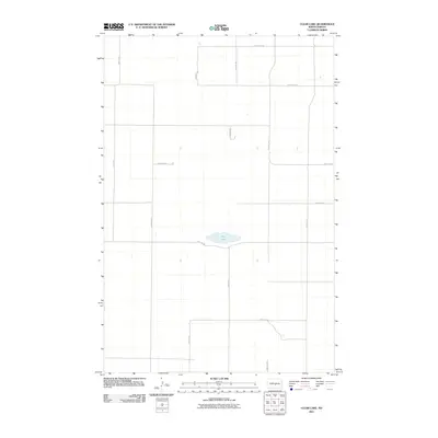
2011 Map of Clear Lake
USGS Topo · Published 2011About this map
Clear Lake sits as the central geographic focal point in this portion of Burleigh County, an area defined by the rigid geometry of the North Dakota prairie. The landscape is dominated by a systematic grid of section-line roads, such as 340th St NE and 175th Ave NE, which reflect the enduring legacy of the Public Land Survey System. These corridors facilitate the movement of agricultural goods through a sparsely populated terrain where small depressions and wetlands dot the open fields. The arrangement of routes like 392nd St NE and 110th Ave NE indicates a landscape primarily dedicated to large-scale farming and ranching, with very little in the way of concentrated residential development or industrial infrastructure. This 2011 survey by the U.S. Geological Survey preserves the precise rural layout of the region during the early 21st century.
Find a feature on this map
13 named features on this map. Tap any name to fly to it.
Don’t see what you’re looking for? This feature index may not catch every label — zoom into the map to look around manually.
Map Details
Editions of this 2011 Clear Lake Map
This is the sole edition of this map. No revisions or reprints were ever made.
Other maps of this area

1951 · McKenzie
USGS Topo · 1:62,500

1951 · Driscoll
USGS Topo · 1:62,500

1954 · Bismarck
USGS Topo · 1:250,000

1954 · McClusky
USGS Topo · 1:250,000

1958 · Bismarck
USGS Topo · 1:250,000

1958 · McClusky
USGS Topo · 1:250,000

1975 · Sibley Butte
USGS Topo · 1:24,000

1975 · Sterling
USGS Topo · 1:24,000

1975 · Lake Geneva
USGS Topo · 1:24,000

1975 · Wing SE
USGS Topo · 1:24,000