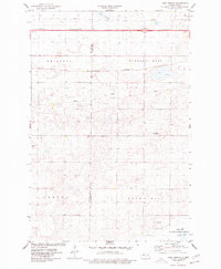
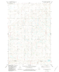
1975 Map of Lake Geneva
USGS Topo · Published 1977This historical map portrays the area of Lake Geneva in 1975, primarily covering Kidder County as well as portions of Burleigh County. Featuring a scale of 1:24000, this map provides a highly detailed snapshot of the terrain, roads, buildings, counties, and historical landmarks in the Lake Geneva region at the time. Published in 1977, it is the sole known edition of this map.
Map Details
Editions of this 1975 Lake Geneva Map
This is the sole edition of this map. No revisions or reprints were ever made.
Historical Maps of Kidder County Through Time
25 maps found
1952 Steele NE
Kidder County, ND
1952 Steele NW
Kidder County, ND
1952 Tappen NE
Kidder County, ND
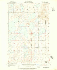
1952 Tappen North
Kidder County, ND
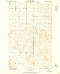
1952 Tappen SE
Kidder County, ND
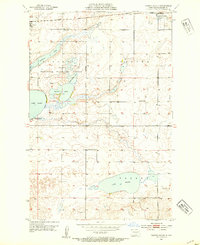
1952 Tappen South
Kidder County, ND
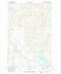
1972 Des Moines Lake
Kidder County, ND
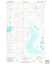
1972 Horsehead Lake
Kidder County, ND
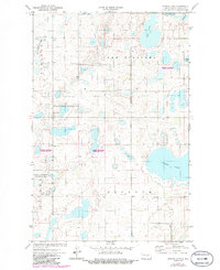
1972 Kunkel Lake
Kidder County, ND
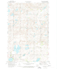
1972 Lake Williams
Kidder County, ND
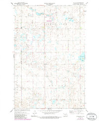
1972 Tuttle SW
Kidder County, ND
1975 Braddock NE
Kidder County, ND

1975 Lake Geneva
Kidder County, ND
1975 Stony Slough
Kidder County, ND
1975 Tappen North
Kidder County, ND
1978 Bowdon SE
Kidder County, ND
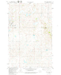
1978 Senior Lake
Kidder County, ND
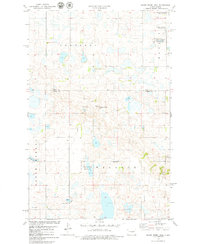
1978 Wagon Wheel Hill
Kidder County, ND
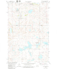
1978 Willow Lake
Kidder County, ND
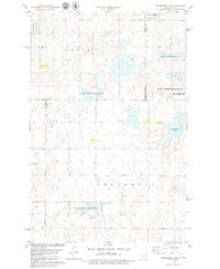
1978 Woodhouse Lake
Kidder County, ND
1979 Harriet Lake SE
Kidder County, ND
1979 Kintyre NE
Kidder County, ND
1979 Lake Helen
Kidder County, ND
1983 Alkaline Lake
Kidder County, ND
1983 Alkaline Lake NW
Kidder County, ND