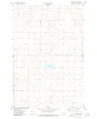
1975 Map of Clear Lake
USGS Topo · Published 1977About this map
Clear Lake sits as the central geographic landmark in this mid-1970s survey of Burleigh County, North Dakota. The landscape reflects the established agricultural and religious foundations of the region, anchored by the Zion Ch and an adjacent Cem in the northern reaches of the sheet. The map reveals a sparsely settled prairie environment where early township boundaries like Lein, Christiana, and Sterling organize the grid of section lines and field divisions. Evidence of small-scale land use and local history is preserved through scattered Well sites and a single isolated Grave marking the southern territory near Driscoll. Resource extraction is noted at a Gravel Pit in the northwest, suggesting the practical infrastructure needs of this rural community during the late twentieth century.
Find a feature on this map
11 named features on this map. Tap any name to fly to it.
Don’t see what you’re looking for? This feature index may not catch every label — zoom into the map to look around manually.
Map Details
Editions of this 1975 Clear Lake Map
This is the sole edition of this map. No revisions or reprints were ever made.
Other maps of this area

1951 · McKenzie
USGS Topo · 1:62,500

1951 · Driscoll
USGS Topo · 1:62,500

1954 · Bismarck
USGS Topo · 1:250,000

1954 · McClusky
USGS Topo · 1:250,000

1958 · Bismarck
USGS Topo · 1:250,000

1958 · McClusky
USGS Topo · 1:250,000

1975 · Sibley Butte
USGS Topo · 1:24,000

1975 · Sterling
USGS Topo · 1:24,000

1975 · Lake Geneva
USGS Topo · 1:24,000

1975 · Wing SE
USGS Topo · 1:24,000