
1951 Map of Clear Lake Reservoir
USGS Topo · Published 1952About this map
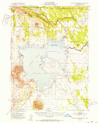
Clear Lake Reservoir dominates this high-desert landscape in Modoc County, serving as a focal point for the Clear Lake National Wildlife Refuge and irrigation infrastructure. The map documents a critical period of water management, noting a spillway elevation of 4477 feet and the position of a Gaging Station along the Lost River. Traces of the region's pioneering history are preserved through the marking of the Emigrant Trail, which skirts the northern edges of the reservoir near Walter Flat.
Find a feature on this map
37 named features on this map. Tap any name to fly to it.
Don’t see what you’re looking for? This feature index may not catch every label — zoom into the map to look around manually.
Map Details
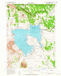
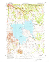
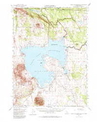
Editions of this 1951 Clear Lake Reservoir Map
5 editions found
Other maps of this area

1886 · Alturas
USGS Topo · 1:250,000

1886 · Modoc Lava Bed
USGS Topo · 1:250,000

1889 · Klamath
USGS Topo · 1:250,000

1892 · Modoc Lava-Bed
USGS Topo · 1:250,000

1892 · Alturas
USGS Topo · 1:250,000

1894 · Klamath
USGS Topo · 1:250,000

1951 · Tulelake
USGS Topo · 1:62,500

1952 · Timber Mountain
USGS Topo · 1:62,500

1952 · Hackamore
USGS Topo · 1:62,500

1954 · Alturas
USGS Topo · 1:250,000