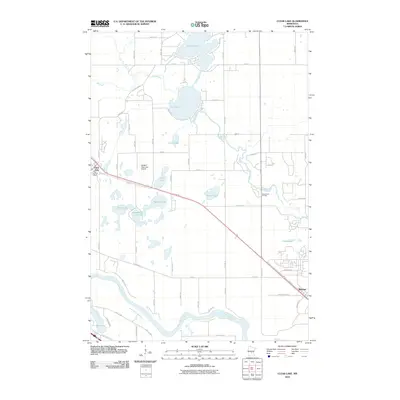
2010 Map of Clear Lake
USGS Topo · Published 2010About this map
The Mississippi River defines the southwestern edge of this landscape, carving a wide path through Sherburne County just as it enters its stretch toward the Twin Cities. This 2010 survey highlights a region defined by its glacial hydrology, where clusters of water bodies like Briggs Lake, Elk Lake, and Mosford Lake occupy the terrain north of the river. The small settlements of Clear Lake and Becker anchor the transport corridor, connected by the diagonal sweep of highway and rail lines that parallel the river's course. Local infrastructure is noted by the Clear Lake Post Office and the Leaders Clear Lake Airport, which sits just northeast of the town center. Further east, the Elk River meanders toward its namesake town, while recreational spaces such as Riverwood RV Park take advantage of the waterfront proximity near Prairie Lake.
Find a feature on this map
64 named features on this map. Tap any name to fly to it.
Don’t see what you’re looking for? This feature index may not catch every label — zoom into the map to look around manually.
Map Details
Editions of this 2010 Clear Lake Map
This is the sole edition of this map. No revisions or reprints were ever made.
Other maps of this area

1950 · St. Cloud
USGS Topo · 1:62,500

1951 · Annandale
USGS Topo · 1:62,500

1953 · Saint Cloud
USGS Topo · 1:250,000

1953 · Stillwater
USGS Topo · 1:250,000

1955 · Stillwater
USGS Topo · 1:250,000

1957 · Saint Cloud
USGS Topo · 1:250,000

1958 · Stillwater
USGS Topo · 1:250,000

1958 · Saint Cloud
USGS Topo · 1:250,000

1961 · Clear Lake
USGS Topo · 1:24,000

1961 · Silver Creek
USGS Topo · 1:24,000