Loading...
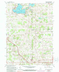
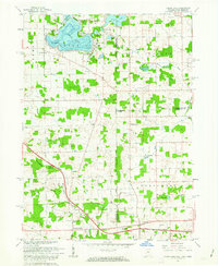
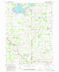
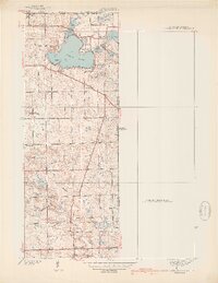
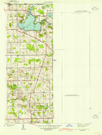
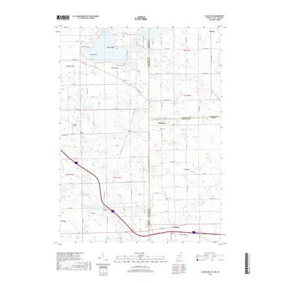
Loading map...1961 Map of Clear Lake
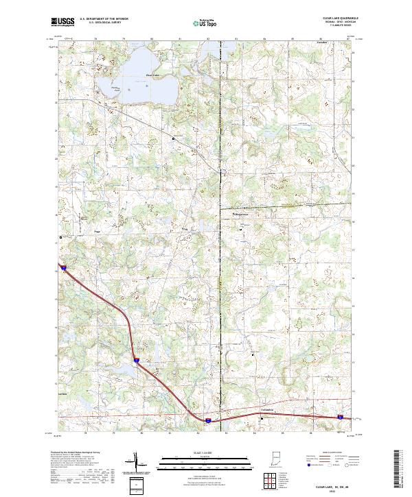
USGS Topo · Published 1990About this map
Clear Lake serves as the focal point of this tri-state borderland, where Indiana, Michigan, and Ohio meet. The 1961 survey captures a landscape defined by its glacial hydrology, featuring smaller water bodies like Mirror Lake, Lake Anne, and the sprawling Barnes Swamp to the southwest. The presence of Latter Day Saints Ch, St Paul Ch, and several family burial grounds, including Teeters Cem and Dygert Cem, provides significant genealogical markers for the surrounding rural townships.
Find a feature on this map
45 named features on this map. Tap any name to fly to it.
Don’t see what you’re looking for? This feature index may not catch every label — zoom into the map to look around manually.
Map Details
Date Portrayed1961
Date Published1990
PublisherU.S. Geological Survey
Map TypeTopographic
Scale1:24,000
Physical Dimensions22 x 26.8 inches
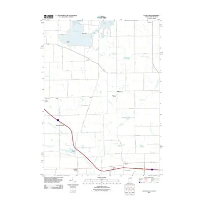
Editions of this 1961 Clear Lake Map
3 editions found
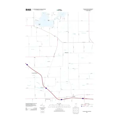
Historical Maps of Northwest Township Through Time
9 maps found

Featured Locations
Source Details
SourceU.S. Geological Survey
CopyrightPublic Domain