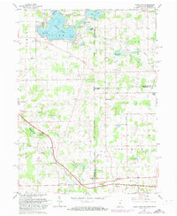
1961 Map of Clear Lake
USGS Topo · Published 1973About this map
Clear Lake and its surrounding glacial kettle lakes dominate this tri-state corner where Indiana, Ohio, and Michigan meet. The 1961 topography reveals a developed shoreline at Paradise Pt and a Landing Strip near Mirror Lake, while the southern half of the map transition into the agricultural landscape of York and Northwest townships. Transportation infrastructure is a primary feature, with the Indiana Toll Road and Ohio Turnpike intersecting near the Westgate Terminal. Local history is preserved in the placement of several rural burial grounds such as Teeters Cem and Rogers Cem, alongside small community centers like Columbia and Courtney Corner. The map captures the region just as the interstate system and modernized turnpikes were beginning to reshape the movement of people and goods through these border counties.
Find a feature on this map
46 named features on this map. Tap any name to fly to it.
Don’t see what you’re looking for? This feature index may not catch every label — zoom into the map to look around manually.
Map Details
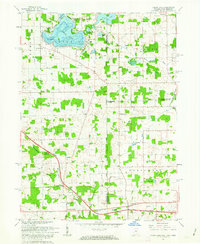
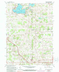
Editions of this 1961 Clear Lake Map
3 editions found
Other maps of this area

1914 · Pioneer
USGS Topo · 1:62,500

1939 · Hamilton
USGS Topo · 1:24,000

1939 · Angola East
USGS Topo · 1:24,000

1939 · Clear Lake
USGS Topo · 1:24,000

1940 · Metz
USGS Topo · 1:24,000

1940 · Clear Lake
USGS Topo · 1:24,000

1944 · Pioneer
USGS Topo · 1:62,500

1947 · Angola East
USGS Topo · 1:24,000

1948 · Hamilton
USGS Topo · 1:24,000

1953 · Fort Wayne
USGS Topo · 1:250,000