Loading...
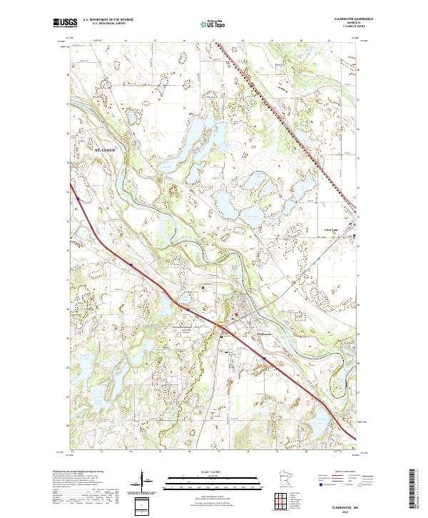
Loading map...2022 Map of Clearwater
USGS Topo · Published 2022About this map
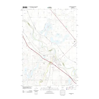
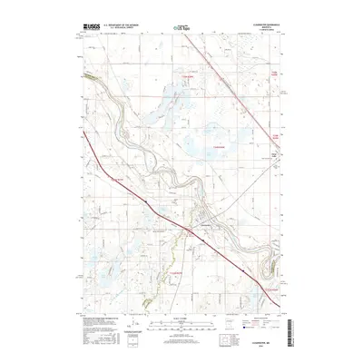
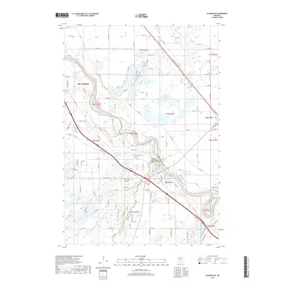
The Mississippi River carves a winding path through this region, forming the natural border between Stearns, Sherburne, and Wright counties. At the heart of the landscape, the settlement of Clearwater sits at the confluence where the Clearwater River meets the larger Mississippi, a site of long-standing regional importance for transport and drainage. Across the river, the village of Clear Lake provides a secondary anchor for local transit and commerce.
Find a feature on this map
130 named features on this map. Tap any name to fly to it.
Don’t see what you’re looking for? This feature index may not catch every label — zoom into the map to look around manually.
Map Details
Date Portrayed2022
Date Published2022
PublisherU.S. Geological Survey
Map TypeTopographic
Scale1:24,000
Physical Dimensions24 x 29 inches
Editions of this 2022 Clearwater Map
This is the sole edition of this map. No revisions or reprints were ever made.
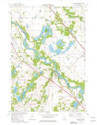
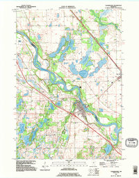
Historical Maps of St. Cloud Through Time
7 maps found
Featured Locations
Source Details
SourceU.S. Geological Survey
CopyrightPublic Domain