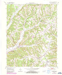
1952 Map of Clementsville
USGS Topo · Published 1987About this map
Tennessee Ridge and Chicken Gizzard Ridge dominate the landscape of south-central Kentucky, where narrow valleys dictate the pattern of rural life. The settlement of Clementsville sits at a vital crossing of Casey Creek, serving as a hub for the surrounding hollows. Higher elevations are marked by a series of creatively named landforms like Possum Trot Ridge and Apostolic Ridge, while the lowlands are defined by agricultural clusters and local institutions such as Noel Chapel and Bethlehem Ch.
Find a feature on this map
63 named features on this map. Tap any name to fly to it.
Don’t see what you’re looking for? This feature index may not catch every label — zoom into the map to look around manually.
Map Details
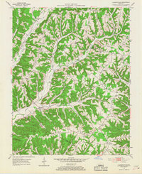
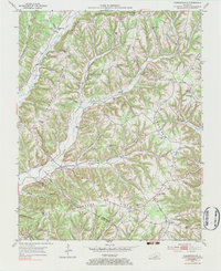
Editions of this 1952 Clementsville Map
4 editions found
Other maps of this area

1952 · Ellisburg
USGS Topo · 1:24,000

1952 · Clementsville
USGS Topo · 1:24,000

1952 · Liberty
USGS Topo · 1:24,000

1952 · Mannsville
USGS Topo · 1:24,000

1952 · Bradfordsville
USGS Topo · 1:24,000

1953 · Bradfordsville NE
USGS Topo · 1:24,000

1953 · Phil
USGS Topo · 1:24,000

1953 · Dunnville
USGS Topo · 1:24,000

1953 · Bradfordsville
USGS Topo · 1:24,000

1954 · Knifley
USGS Topo · 1:24,000