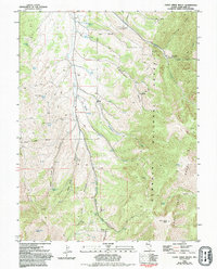
1981 Map of Cleve Creek Baldy
USGS Topo · Published 1994About this map
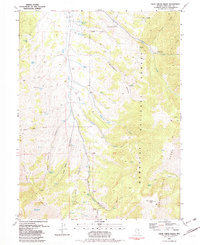
Humboldt National Forest encompasses the high country of the Schell Creek Range on this map, where high-altitude springs and meadows dictate the pattern of human activity. The central drainage of Duck Creek Valley serves as a primary corridor, fed by numerous water sources including Wellington Springs, Axehandle Spring, and Five Springs. The landscape is defined by its verticality, rising from the valley floor to the prominent peak of Cleve Creek Baldy.
Find a feature on this map
46 named features on this map. Tap any name to fly to it.
Don’t see what you’re looking for? This feature index may not catch every label — zoom into the map to look around manually.
Map Details
Editions of this 1981 Cleve Creek Baldy Map
2 editions found
Other maps of this area

1952 · Ely
USGS Topo · 1:125,000

1956 · Ely
USGS Topo · 1:250,000

1958 · McGill
USGS Topo · 1:24,000

1958 · East Ely
USGS Topo · 1:24,000

1958 · Comins Lake
USGS Topo · 1:24,000

1958 · Ely
USGS Topo · 1:62,500

1958 · McGill
USGS Topo · 1:62,500

1959 · Ely
USGS Topo · 1:250,000

1959 · Connors Pass
USGS Topo · 1:62,500

1959 · Schell Peaks
USGS Topo · 1:62,500