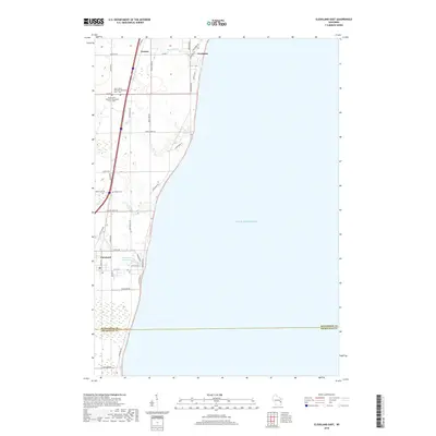
2018 Map of Cleveland East
USGS Topo · Published 2018About this map
Lake Michigan forms the eastern boundary of this coastal Wisconsin landscape, where several small creeks carve paths toward the shoreline. The settlement of Cleveland anchors the southern portion of the map near the Manitowoc and Sheboygan County line, while the community of Newton sits further inland to the north. These coastal townships are characterized by a grid of rural roads like Centerville Rd and Lakeshore Rd that connect isolated farmsteads and local landmarks. Genealogists will find significant detail in the cemetery locations, including the split Saint John's Ebenezer Reformed Cem - East and Saint John's Ebenezer Reformed Cem - West, along with the small Kassa Cem north of Cleveland. The map also captures several local waterways such as Point Cr and the Centerville Flowage 10, reflecting the drainage patterns and historical water management of the region.
Find a feature on this map
40 named features on this map. Tap any name to fly to it.
Don’t see what you’re looking for? This feature index may not catch every label — zoom into the map to look around manually.
Map Details
Editions of this 2018 Cleveland East Map
This is the sole edition of this map. No revisions or reprints were ever made.
Other maps of this area

1954 · Manitowoc
USGS Topo · 1:62,500

1954 · Cleveland
USGS Topo · 1:24,000

1954 · St. Wendel
USGS Topo · 1:24,000

1954 · Sheboygan North
USGS Topo · 1:62,500

1954 · Sheboygan North
USGS Topo · 1:24,000

1954 · Howards Grove
USGS Topo · 1:62,500

1954 · Howards Grove
USGS Topo · 1:24,000

1954 · Reedsville
USGS Topo · 1:62,500

1954 · Manitowoc
USGS Topo · 1:24,000

1954 · Milwaukee
USGS Topo · 1:250,000