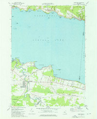
1973 Map of Cleveland
USGS Topo · Published 1976About this map
The north and south shores of Oneida Lake define this central New York landscape, which shows a mix of recreational shorelines and agricultural hinterlands in the mid-1970s. On the northern bank, the village of Cleveland and the community of Bernhards Bay sit along an Old RR Grade, reflecting the area's transition from early industrial and rail importance to a residential and seasonal character. To the west, Constantia remains a focal point near the Fish Hatchery, while the southern shore is marked by the growing settlement of Bridgeport at the mouth of Chittenango Creek.
Find a feature on this map
63 named features on this map. Tap any name to fly to it.
Don’t see what you’re looking for? This feature index may not catch every label — zoom into the map to look around manually.
Map Details
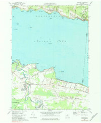
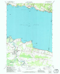
Editions of this 1973 Cleveland Map
Other maps of this area

1895 · Chittenango
USGS Topo · 1:62,500

1895 · Syracuse
USGS Topo · 1:62,500

1898 · Syracuse
USGS Topo · 1:62,500

1898 · Chittenango
USGS Topo · 1:62,500

1902 · Chittenango
USGS Topo · 1:62,500

1905 · Mexico
USGS Topo · 1:62,500

1906 · Kasoag
USGS Topo · 1:62,500

1938 · Syracuse East
USGS Topo · 1:24,000

1940 · Cicero
USGS Topo · 1:24,000

1941 · Cleveland
USGS Topo · 1:24,000