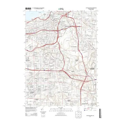
2013 Map of Cleveland South
USGS Topo · Published 2013About this map
The Flats and the industrial corridors of the Cuyahoga River dominate this early 21st-century landscape, revealing the complex infrastructure of South Cleveland. The map highlights the city's distinctive river morphology, including the sharp turns of Collision Bend and Ox Bow Bend, which have long defined the nautical challenges of the inner harbor. Further south, the urban grid gives way to the preserved landscapes of Cuyahoga Valley National Park, illustrating the transition from dense metropolitan centers like Parma and Garfield Heights to protected river valley terrain.
Find a feature on this map
56 named features on this map. Tap any name to fly to it.
Don’t see what you’re looking for? This feature index may not catch every label — zoom into the map to look around manually.
Map Details
Editions of this 2013 Cleveland South Map
This is the sole edition of this map. No revisions or reprints were ever made.
Other maps of this area

1901 · Euclid
USGS Topo · 1:62,500

1902 · Berea
USGS Topo · 1:62,500

1903 · Cleveland
USGS Topo · 1:62,500

1903 · Euclid
USGS Topo · 1:62,500

1904 · Berea
USGS Topo · 1:62,500

1950 · Cleveland
USGS Topo · 1:250,000

1953 · Shaker Heights
USGS Topo · 1:24,000

1953 · Broadview Heights
USGS Topo · 1:24,000

1953 · Berea
USGS Topo · 1:24,000

1953 · East Cleveland
USGS Topo · 1:24,000