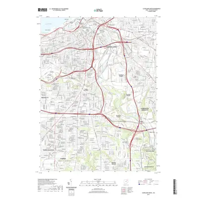
2019 Map of Cleveland South
USGS Topo · Published 2019About this map
The Cuyahoga River carves a winding industrial and cultural path through the heart of Cleveland, revealing a dense urban landscape shaped by its riverfront history. From the waterfront of Whiskey Island and the industrial character of The Flats to the residential reaches of South Brooklyn, this survey documents a city deeply connected to its topography. Major infrastructure like the Hope Memorial Bridge and Detroit Superior Viaduct span the valley, connecting distinct neighborhoods such as Irishtown Bend and Newburgh Heights.
Find a feature on this map
57 named features on this map. Tap any name to fly to it.
Don’t see what you’re looking for? This feature index may not catch every label — zoom into the map to look around manually.
Map Details
Editions of this 2019 Cleveland South Map
This is the sole edition of this map. No revisions or reprints were ever made.
Other maps of this area

1901 · Euclid
USGS Topo · 1:62,500

1902 · Berea
USGS Topo · 1:62,500

1903 · Cleveland
USGS Topo · 1:62,500

1903 · Euclid
USGS Topo · 1:62,500

1904 · Berea
USGS Topo · 1:62,500

1950 · Cleveland
USGS Topo · 1:250,000

1953 · Shaker Heights
USGS Topo · 1:24,000

1953 · Broadview Heights
USGS Topo · 1:24,000

1953 · Berea
USGS Topo · 1:24,000

1953 · East Cleveland
USGS Topo · 1:24,000