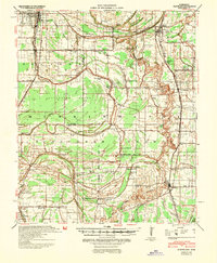
1940 Map of Cleveland
USGS Topo · Published 1946About this map
Cleveland and Ruleville anchor this delta landscape during a period of extensive flood control work under the 1940 Flood Control Act. The region is defined by a dense network of waterways like the Sunflower River, Roundaway Bayou, and Jones Bayou, which dictated the layout of early Mississippi plantations and subsequent town sites. This survey reveals a high density of rural institutions, including the Doddsville Industrial Institute and numerous church-school pairings such as New Salem Sch and Roundaway Sch, highlighting the importance of localized education and faith in Bolivar and Sunflower counties.
Find a feature on this map
94 named features on this map. Tap any name to fly to it.
Don’t see what you’re looking for? This feature index may not catch every label — zoom into the map to look around manually.
Map Details
Editions of this 1940 Cleveland Map
This is the sole edition of this map. No revisions or reprints were ever made.
Other maps of this area
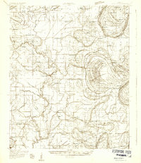
1931 · Schlater
USGS Topo · 1:48,000
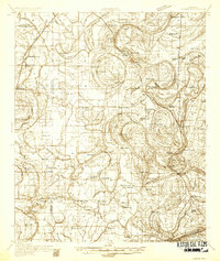
1931 · Sumner
USGS Topo · 1:48,000
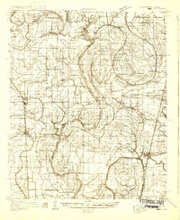
1931 · Drew
USGS Topo · 1:48,000
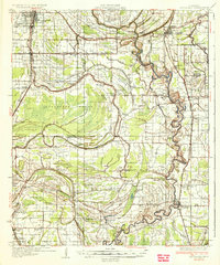
1934 · Cleveland
USGS Topo · 1:62,500
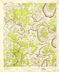
1934 · Schlater
USGS Topo · 1:62,500
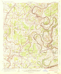
1935 · Sumner
USGS Topo · 1:62,500
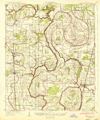
1935 · Mound Bayou
USGS Topo · 1:62,500
1939 · Schlater
USGS Topo · 1:62,500
1939 · Pace
USGS Topo · 1:62,500
1939 · Sumner
USGS Topo · 1:62,500