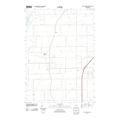
2010 Map of Cleveland West
USGS Topo · Published 2010About this map
Meeme and its surrounding countryside represent a classic Wisconsin agricultural landscape, defined by a grid of farm roads and the winding paths of several regional waterways. The Meeme River and Pigeon River flow through this territory, which is punctuated by small settlements like Spring Valley and Osman. Local history is anchored by several long-established burial grounds, including the Meeme Center Cemetery and Schwartzwald Cemetery, which serve as vital markers for genealogical research in Manitowoc County.
Find a feature on this map
43 named features on this map. Tap any name to fly to it.
Don’t see what you’re looking for? This feature index may not catch every label — zoom into the map to look around manually.
Map Details
Editions of this 2010 Cleveland West Map
This is the sole edition of this map. No revisions or reprints were ever made.
Other maps of this area

1954 · School Hill
USGS Topo · 1:24,000

1954 · Manitowoc
USGS Topo · 1:62,500

1954 · Cleveland
USGS Topo · 1:24,000

1954 · St. Wendel
USGS Topo · 1:24,000

1954 · Sheboygan North
USGS Topo · 1:62,500

1954 · Sheboygan North
USGS Topo · 1:24,000

1954 · Howards Grove
USGS Topo · 1:62,500

1954 · Howards Grove
USGS Topo · 1:24,000

1954 · Reedsville
USGS Topo · 1:62,500

1954 · Manitowoc
USGS Topo · 1:24,000