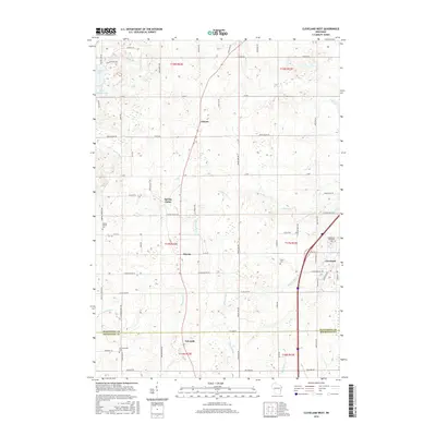
2016 Map of Cleveland West
USGS Topo · Published 2016About this map
Osman and Meeme anchor this rural landscape in Manitowoc and Sheboygan counties, where a network of streams including the Meeme River and Pigeon River carve through the glacial terrain. The map captures a moment of transition where traditional farming crossroads like Spring Valley and Edwards persist alongside modern educational landmarks such as Lakeshore Technical Coll in Cleveland. The layout of the land is defined by long-established section lines and county roads, reflecting the 19th-century Public Land Survey System that organized these Wisconsin townships. Genealogy researchers will find significant value in the documentation of local burial grounds, including Meeme Center Cem, Saxon Cem, and Schwartzwald Cem, which provide a geographic anchor for the families who settled this region near the Lake Michigan shoreline.
Find a feature on this map
67 named features on this map. Tap any name to fly to it.
Don’t see what you’re looking for? This feature index may not catch every label — zoom into the map to look around manually.
Map Details
Editions of this 2016 Cleveland West Map
This is the sole edition of this map. No revisions or reprints were ever made.
Other maps of this area

1954 · School Hill
USGS Topo · 1:24,000

1954 · Manitowoc
USGS Topo · 1:62,500

1954 · Cleveland
USGS Topo · 1:24,000

1954 · St. Wendel
USGS Topo · 1:24,000

1954 · Sheboygan North
USGS Topo · 1:62,500

1954 · Sheboygan North
USGS Topo · 1:24,000

1954 · Howards Grove
USGS Topo · 1:62,500

1954 · Howards Grove
USGS Topo · 1:24,000

1954 · Reedsville
USGS Topo · 1:62,500

1954 · Manitowoc
USGS Topo · 1:24,000