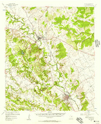
1956 Map of Clifton
USGS Topo · Published 1957About this map
The Bosque River carves a winding path through this central Texas landscape, where the limestone ridges and uplands of Bosque County define the settlement patterns of the mid-1950s. The county seat of Meridian serves as a central hub, connected by the Gulf Colorado and Santa Fe railroad to the community of Clifton in the southeast. This period shows a rural landscape transitioning toward recreation and modern infrastructure, evidenced by the establishment of Meridian State Park and its spillway near Roadside Park.
Find a feature on this map
41 named features on this map. Tap any name to fly to it.
Don’t see what you’re looking for? This feature index may not catch every label — zoom into the map to look around manually.
Map Details
Editions of this 1956 Clifton Map
This is the sole edition of this map. No revisions or reprints were ever made.
Other maps of this area

1888 · Meridian
USGS Topo · 1:125,000

1889 · Granbury
USGS Topo · 1:125,000

1891 · Cleburne
USGS Topo · 1:125,000

1892 · Waco
USGS Topo · 1:125,000

1894 · Meridian
USGS Topo · 1:125,000

1894 · Cleburne
USGS Topo · 1:125,000

1920 · Waco
USGS Topo · 1:125,000

1924 · Waco 2-b
USGS Topo · 1:48,000

1924 · Cleburne 3-C
USGS Topo · 1:48,000

1927 · Blum
USGS Topo · 1:62,500