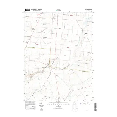
2013 Map of Clifton
USGS Topo · Published 2013About this map
The Little Miami River carves a dramatic path through this section of the Ohio landscape, defining the character of Clifton, where it creates the narrow passage known as the Narrows and the Clifton Gorge. This 2013 survey illustrates the interface between the academic grounds of Cedarville University and the surrounding agricultural and residential developments of Greene County and Clark County. Further north, the Springfield-Beckley Municipal Airport and the smaller Flying J Airport reflect the area's aviation infrastructure, while smaller settlements like Hustead, Pitchin, and Peacock Acres dot the rural road network.
Find a feature on this map
123 named features on this map. Tap any name to fly to it.
Don’t see what you’re looking for? This feature index may not catch every label — zoom into the map to look around manually.
Map Details
Editions of this 2013 Clifton Map
This is the sole edition of this map. No revisions or reprints were ever made.
Other maps of this area

1904 · Springfield
USGS Topo · 1:62,500

1906 · Springfield
USGS Topo · 1:62,500

1907 · South Charleston
USGS Topo · 1:62,500

1916 · Octa
USGS Topo · 1:62,500

1917 · Xenia
USGS Topo · 1:62,500

1944 · Octa
USGS Topo · 1:62,500

1947 · Columbus
USGS Topo · 1:250,000

1954 · Clifton
USGS Topo · 1:24,000
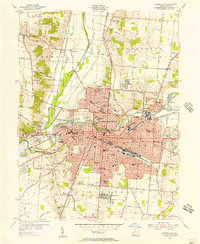
1955 · Springfield
USGS Topo · 1:24,000
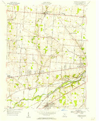
1955 · Donnelsville
USGS Topo · 1:24,000