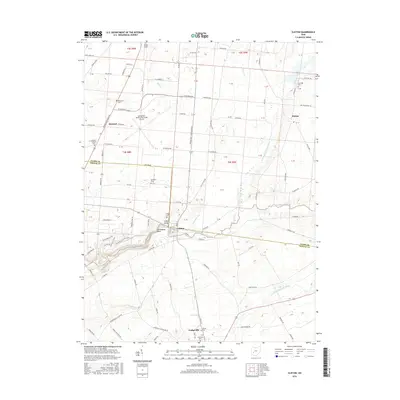
2016 Map of Clifton
USGS Topo · Published 2016About this map
Cedarville Univ stands as a primary anchor in the southern portion of this region, situated just north of the village of Cedarville. This area is defined by the sharp transition between agricultural tablelands and the dramatic incisions of the Little Miami River, which carves through the Clifton Gorge and The Narrows. These geological features, alongside Steamboat Rock, create a distinctive riparian corridor that separates the northern settlements of Hustead and Pitchin from the more concentrated developments to the south.
Find a feature on this map
61 named features on this map. Tap any name to fly to it.
Don’t see what you’re looking for? This feature index may not catch every label — zoom into the map to look around manually.
Map Details
Editions of this 2016 Clifton Map
This is the sole edition of this map. No revisions or reprints were ever made.
Other maps of this area

1904 · Springfield
USGS Topo · 1:62,500

1906 · Springfield
USGS Topo · 1:62,500

1907 · South Charleston
USGS Topo · 1:62,500

1916 · Octa
USGS Topo · 1:62,500

1917 · Xenia
USGS Topo · 1:62,500

1944 · Octa
USGS Topo · 1:62,500

1947 · Columbus
USGS Topo · 1:250,000

1954 · Clifton
USGS Topo · 1:24,000
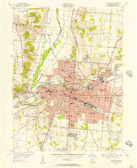
1955 · Springfield
USGS Topo · 1:24,000
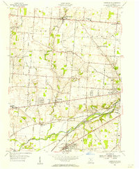
1955 · Donnelsville
USGS Topo · 1:24,000