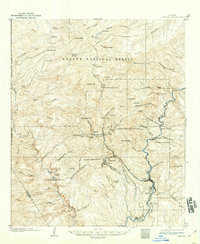
1902 Map of Clifton
USGS Topo · Published 1914About this map
Clifton and the surrounding mining districts are at the center of this industrial and mountain landscape at the dawn of the twentieth century. The topography reveals the intense mineral extraction efforts of the era, centered on the Coronado Mine and the industrial infrastructure of the Shannon Smelter. The San Francisco River cuts through the canyon floor, providing a vital corridor for the Southern Pacific Railroad to reach these mountain outposts.
Find a feature on this map
66 named features on this map. Tap any name to fly to it.
Don’t see what you’re looking for? This feature index may not catch every label — zoom into the map to look around manually.
Map Details
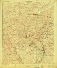
Editions of this 1902 Clifton Map
3 editions found
Other maps of this area

1902 · Clifton
USGS Topo · 1:62,500

1913 · Morenci
USGS Topo · 1:125,000

1915 · Morenci
USGS Topo · 1:125,000

1954 · Silver City
USGS Topo · 1:250,000

1954 · Clifton
USGS Topo · 1:250,000

1957 · Clifton
USGS Topo · 1:250,000

1958 · Silver City
USGS Topo · 1:250,000

1958 · Clifton
USGS Topo · 1:250,000

1959 · York Valley
USGS Topo · 1:62,500

1960 · Guthrie
USGS Topo · 1:62,500