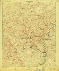
1902 Map of Clifton
USGS Topo · Published 1914About this map
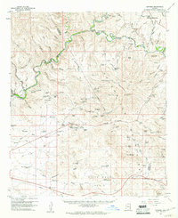
Clifton and Morenci serve as the industrial hubs for this mineral-rich region of Arizona, where the copper industry shaped the early 20th-century landscape. Steep canyon walls and high peaks like Mitchell Peak and Modoc Mtn dominate the terrain, necessitating complex transportation solutions for moving ore. The map documents the specialized engineering of the era, specifically the Coronado Incline and Longfellow Incline, which facilitated mining operations above Metcalf.
Find a feature on this map
74 named features on this map. Tap any name to fly to it.
Don’t see what you’re looking for? This feature index may not catch every label — zoom into the map to look around manually.
Map Details
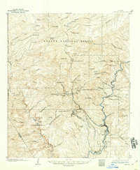
Editions of this 1902 Clifton Map
3 editions found
Other maps of this area
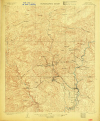
1902 · Clifton
USGS Topo · 1:62,500

1913 · Morenci
USGS Topo · 1:125,000

1915 · Morenci
USGS Topo · 1:125,000

1954 · Silver City
USGS Topo · 1:250,000

1954 · Clifton
USGS Topo · 1:250,000

1957 · Clifton
USGS Topo · 1:250,000

1958 · Silver City
USGS Topo · 1:250,000

1958 · Clifton
USGS Topo · 1:250,000
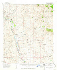
1959 · York Valley
USGS Topo · 1:62,500
1960 · Guthrie
USGS Topo · 1:62,500