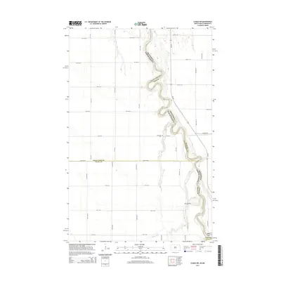
2014 Map of Climax NW
USGS Topo · Published 2014About this map
The Red River of the North winds through this fertile valley, forming the border between Grand Forks County, North Dakota, and Polk County, Minnesota. The landscape is defined by the tight, serpentine meanders of the river and the extensive drainage networks that support the region's agricultural productivity, such as County Ditch Number One Hundred Three and Buffalo Coulee. The topography is remarkably flat, characteristic of the ancient glacial lake bed of Lake Agassiz, and is strictly organized by a section-line road grid including Eagle Ave NE and 17th St NE. Evidence of early settlement is found in the local churchyards, specifically the Rosendahl Cem located near the riverbank and N Ringsaker Cem further south. These sites provide a connection to the Scandinavian heritage common in this part of the Red River Valley.
Find a feature on this map
26 named features on this map. Tap any name to fly to it.
Don’t see what you’re looking for? This feature index may not catch every label — zoom into the map to look around manually.
Map Details
Editions of this 2014 Climax NW Map
This is the sole edition of this map. No revisions or reprints were ever made.
Other maps of this area

1919 · Eldred
USGS Topo · 1:62,500

1934 · Grand Forks
USGS Topo · 1:62,500

1938 · Grand Forks
USGS Topo · 1:62,500

1952 · Grand Forks
USGS Topo · 1:250,000

1956 · Grand Forks
USGS Topo · 1:250,000

1964 · Climax NW
USGS Topo · 1:24,000

1964 · Climax SW
USGS Topo · 1:24,000
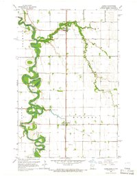
1964 · Climax
USGS Topo · 1:24,000
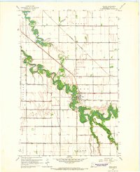
1964 · Fisher
USGS Topo · 1:24,000
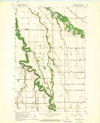
1964 · Bygland
USGS Topo · 1:24,000