
1899 Map of Clinton
USGS Topo · Published 1899About this map
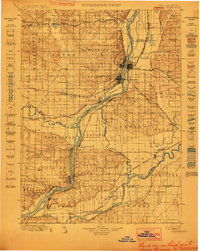
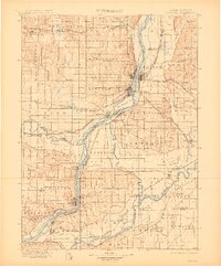
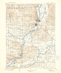
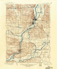
The Mississippi River corridor serves as the central artery for this late-19th-century study, illustrating a landscape defined by river traffic and an expanding rail network. Strategic settlements like Camanché and Leclaire anchor the Iowa side, while Albany and Port Byron mirror them across the water in Illinois. The map records the complex interplay of transportation and terrain, featuring prominent landmarks such as Big Beaver Id. and the winding course of the Wapsipinicon River.
Find a feature on this map
95 named features on this map. Tap any name to fly to it.
Don’t see what you’re looking for? This feature index may not catch every label — zoom into the map to look around manually.
Map Details
Editions of this 1899 Clinton Map
5 editions found
Other maps of this area

1891 · DeWitt
USGS Topo · 1:62,500

1891 · Davenport
USGS Topo · 1:62,500

1891 · Maquoketa
USGS Topo · 1:62,500

1891 · Clinton
USGS Topo · 1:62,500

1892 · Goose Lake
USGS Topo · 1:62,500

1892 · Savanna
USGS Topo · 1:62,500

1892 · Leclaire
USGS Topo · 1:62,500

1893 · Leclaire
USGS Topo · 1:62,500

1894 · Goose Lake
USGS Topo · 1:62,500

1894 · Clinton
USGS Topo · 1:62,500