
1915 Map of Clintwood
USGS Topo · Published 1915About this map
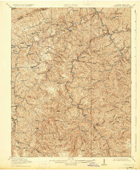
Clintwood serves as the focal point of this 1915 survey, situated amidst the complex topography of the Cumberland Plateau where the Pound River, Cranesnest River, and McClure River have carved deep drainage networks. The map captures the region's early 20th-century character, defined by a dense distribution of rural educational institutions like Trammel School, Rainy Flat School, and Millard Kern School, which speak to the dispersed settlement patterns in the hollows. Along the northern boundary, Pine Mountain forms a prominent natural wall, pierced by Blowing Rock Gap and Jesse Gap. In the southern reaches, the settlement of Dante and various family-named landmarks such as Tilda Anderson Branch illustrate the local genealogy and land-use history of Dickenson County before the widespread industrial transformations of later decades.
Find a feature on this map
123 named features on this map. Tap any name to fly to it.
Don’t see what you’re looking for? This feature index may not catch every label — zoom into the map to look around manually.
Map Details
Editions of this 1915 Clintwood Map
3 editions found
Other maps of this area

1886 · Grundy
USGS Topo · 1:125,000

1890 · Whitesburg
USGS Topo · 1:125,000

1890 · Grundy
USGS Topo · 1:125,000

1892 · Grundy
USGS Topo · 1:125,000

1892 · Whitesburg
USGS Topo · 1:125,000

1894 · Estillville
USGS Topo · 1:125,000

1897 · Bristol
USGS Topo · 1:125,000

1902 · Bristol
USGS Topo · 1:125,000

1912 · Pound
USGS Topo · 1:48,000

1913 · Clintwood
USGS Topo · 1:62,500