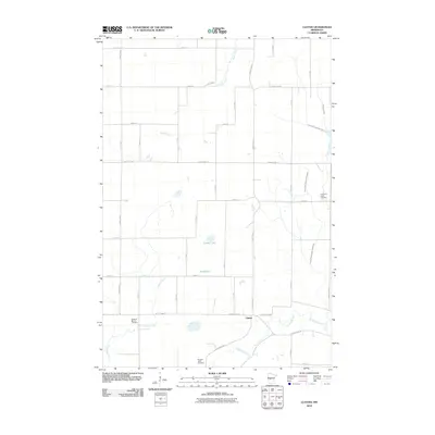
2010 Map of Clotho
USGS Topo · Published 2010About this map
The settlement of Clotho sits within a landscape defined by an intricate network of waterways and early 21st-century agricultural roads in Todd County. This 2010 survey highlights the rural character of the region, where the Long Prairie River and its tributaries, including Dismal Creek and Eagle Creek, wind through a grid of numbered county highways and avenues. Significant for genealogical research, the map identifies several local burial grounds, including the Pleasant Valley Cemetery and Pleasant Mound Cemetery to the south, and the Freemans Creek Cemetery situated near the eastern boundary. The presence of Powers Lake and Gray Lake further illustrates the wetland-rich topography typical of central Minnesota. This record captures the established rural infrastructure, from County Hwy-14 to smaller routes like Hackberry Rd, providing a clear view of the land use and property access points during this era.
Find a feature on this map
37 named features on this map. Tap any name to fly to it.
Don’t see what you’re looking for? This feature index may not catch every label — zoom into the map to look around manually.
Map Details
Editions of this 2010 Clotho Map
This is the sole edition of this map. No revisions or reprints were ever made.
Other maps of this area

1953 · Brainerd
USGS Topo · 1:250,000

1953 · Saint Cloud
USGS Topo · 1:250,000

1957 · Brainerd
USGS Topo · 1:250,000

1957 · Saint Cloud
USGS Topo · 1:250,000

1958 · Saint Cloud
USGS Topo · 1:250,000

1958 · Brainerd
USGS Topo · 1:250,000

1965 · Brainerd
USGS Topo · 1:250,000

1966 · Lake Osakis East
USGS Topo · 1:24,000
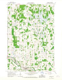
1966 · Clarissa
USGS Topo · 1:24,000
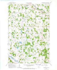
1966 · Browerville SW
USGS Topo · 1:24,000