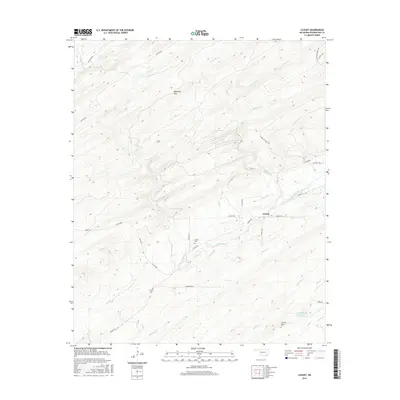
2016 Map of Cloudy
USGS Topo · Published 2016About this map
The unincorporated community of Cloudy sits along the southern edge of Blackjack Mtn in this corner of Pushmataha County. The landscape is defined by a dense network of watercourses and naming patterns that reflect the local topography, from the prominent Cloudy Creek to smaller tributaries like Bullpen Cr and Frazier Cr. Genealogists will find the Cloudy Cem located central to the settlement, while the presence of the Fourche Maline Creek Site 6 Reservoir in the southeast indicates modern water management in the region.
Find a feature on this map
36 named features on this map. Tap any name to fly to it.
Don’t see what you’re looking for? This feature index may not catch every label — zoom into the map to look around manually.
Map Details
Editions of this 2016 Cloudy Map
This is the sole edition of this map. No revisions or reprints were ever made.
Other maps of this area

1901 · Alikchi
USGS Topo · 1:125,000

1950 · Mcalester
USGS Topo · 1:250,000

1962 · McAlester
USGS Topo · 1:250,000

1962 · Sobol
USGS Topo · 1:24,000

1962 · Caney Mountain
USGS Topo · 1:24,000

1965 · McAlester
USGS Topo · 1:250,000

1971 · Spencerville
USGS Topo · 1:24,000
1971 · Rattan
USGS Topo · 1:24,000
1972 · Cloudy
USGS Topo · 1:24,000
1972 · Snow
USGS Topo · 1:24,000