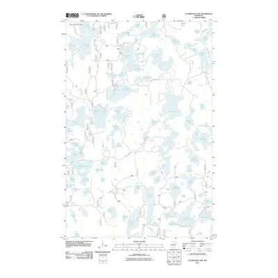
2011 Map of Clubhouse Lake
USGS Topo · Published 2011About this map
Clubhouse Lake and its surrounding wetlands characterize this portion of Itasca County, reflecting the glacial landscape of northern Minnesota. This 2011 survey reveals an intricate network of interconnected basins and smaller potholes, ranging from the prominent Big Island Lake and Gunn Lake to secluded waters like Ghost Lake and My Lake. The infrastructure of the area is primarily defined by forestry and recreation access, with routes such as Clubhouse Lake Rd and County Hwy-45 providing the main corridors through the timberland.
Find a feature on this map
91 named features on this map. Tap any name to fly to it.
Don’t see what you’re looking for? This feature index may not catch every label — zoom into the map to look around manually.
Map Details
Editions of this 2011 Clubhouse Lake Map
This is the sole edition of this map. No revisions or reprints were ever made.
Other maps of this area

1919 · Release
USGS Topo · 1:62,500

1919 · Marcell
USGS Topo · 1:62,500

1920 · Trout Lake
USGS Topo · 1:62,500

1943 · Release
USGS Topo · 1:62,500

1954 · Hibbing
USGS Topo · 1:250,000

1957 · Hibbing
USGS Topo · 1:250,000

1958 · Hibbing
USGS Topo · 1:250,000

1964 · Hibbing
USGS Topo · 1:250,000

1970 · Wabana Lake
USGS Topo · 1:24,000

1970 · Clubhouse Lake
USGS Topo · 1:24,000