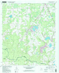
1956 Map of Clyattville
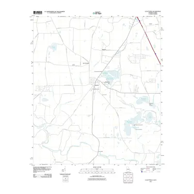
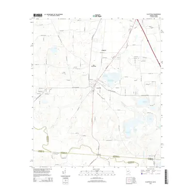
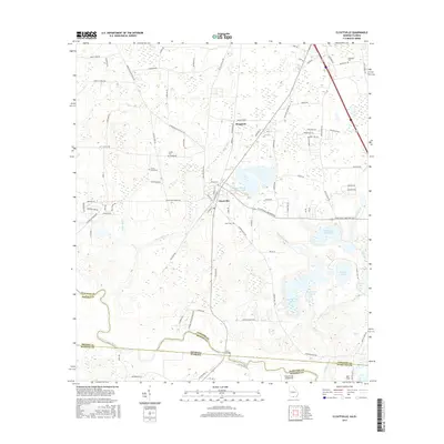
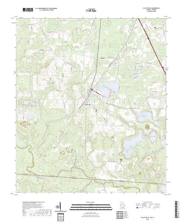
USGS Topo · Published 1978About this map
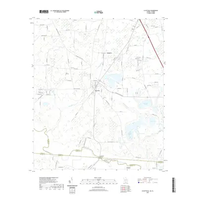
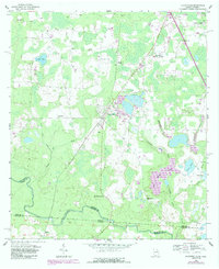
Clyattville serves as the central hub for this borderlands region in the mid-1950s, situated just north of the Georgia-Florida line. The landscape is defined by the winding course of the Withlacoochee River, which forms the boundary between Lowndes and Brooks counties. Rural life is anchored by a dense network of country churches, including Benevolence Ch, Ochlawilla Ch, and New Mt Zion Ch. Industry and infrastructure are evident in the Southern railroad line that bisects the area, and more modern developments like the spoil bank and levee near the Clyattville Lake Park Sch. Water features are abundant, from the large Bear Garden Swamp to family-named landmarks like Lanes Pond and Lanes Mill Creek, reflecting a landscape deeply integrated with its drainage basins.
Find a feature on this map
34 named features on this map. Tap any name to fly to it.
Don’t see what you’re looking for? This feature index may not catch every label — zoom into the map to look around manually.
Map Details
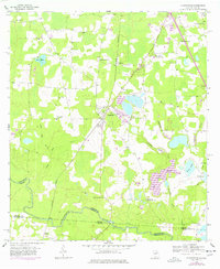
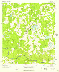
Editions of this 1956 Clyattville Map
Historical Maps of Briggston Through Time
7 maps found