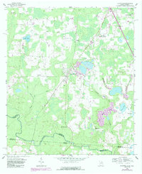
1956 Map of Clyattville
USGS Topo · Published 1988About this map
The Valdosta Southern RR cuts a diagonal path through this South Georgia landscape, connecting the community of Clyattville to the surrounding timber and agricultural lands. The settlement pattern here is anchored by a dense network of country churches, including Benevolence Ch, Ochlawilla Ch, and New Mt Zion Ch, which often served as the primary social hubs for rural families. Near the center of town, the Clyattville Lake Park Sch and a local Substation indicate the mid-century development of local infrastructure.
Find a feature on this map
36 named features on this map. Tap any name to fly to it.
Don’t see what you’re looking for? This feature index may not catch every label — zoom into the map to look around manually.
Map Details
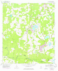
Editions of this 1956 Clyattville Map
Other maps of this area

1954 · Valdosta
USGS Topo · 1:250,000

1956 · Clyattville
USGS Topo · 1:24,000

1956 · Nankin
USGS Topo · 1:24,000

1956 · Octahatchee
USGS Topo · 1:24,000

1958 · Valdosta
USGS Topo · 1:250,000

1959 · Valdosta
USGS Topo · 1:250,000

1960 · Cherry Lake
USGS Topo · 1:24,000

1960 · Pinetta
USGS Topo · 1:24,000

1961 · Valdosta
USGS Topo · 1:24,000

1961 · Ousley
USGS Topo · 1:24,000