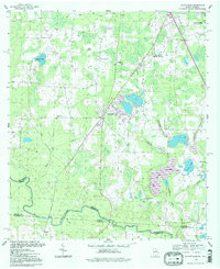
1994 Map of Clyattville
USGS Topo · Published 1998About this map
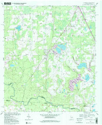
The Withlacoochee River forms a prominent natural boundary along the southern edge of this landscape, marking the interstate border between Georgia and Florida. The settlement of Clyattville serves as a central hub, surrounded by a network of rural crossroads such as Briggston and Smith. This area is defined by its complex drainage systems and wetlands, including the sprawling Bear Garden Swamp and numerous named water bodies like Lanes Pond and Sunset Lake. The map reveals a deeply rooted community life through its distribution of local institutions, from the Clyattville Lake Park School to a high density of country churches including Benevolence Ch, Ochlawilla Ch, and New Mt Zion Ch. For those tracing local history, the Forest Grove Cemetery and various family-named landmarks like Lanes Mill Creek offer clear evidence of the long-standing agricultural and social structure of the region.
Find a feature on this map
31 named features on this map. Tap any name to fly to it.
Don’t see what you’re looking for? This feature index may not catch every label — zoom into the map to look around manually.
Map Details
Editions of this 1994 Clyattville Map
2 editions found
Other maps of this area

1954 · Valdosta
USGS Topo · 1:250,000

1956 · Clyattville
USGS Topo · 1:24,000

1956 · Nankin
USGS Topo · 1:24,000

1956 · Octahatchee
USGS Topo · 1:24,000

1958 · Valdosta
USGS Topo · 1:250,000

1959 · Valdosta
USGS Topo · 1:250,000

1960 · Cherry Lake
USGS Topo · 1:24,000

1960 · Pinetta
USGS Topo · 1:24,000

1961 · Valdosta
USGS Topo · 1:24,000

1961 · Ousley
USGS Topo · 1:24,000