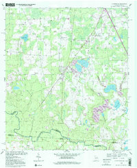
1994 Map of Clyattville
USGS Topo · Published 2001About this map
The Withlacoochee River forms a significant portion of the Georgia-Florida state line at the southern edge of this landscape, marking the transition between Lowndes County and its southern neighbors. The settlement of Clyattville serves as a central hub, surrounded by a network of rural churches and family landmarks including Benevolence Ch, Ochlawilla Ch, and New Mt Zion Ch. The geography is defined by a dense drainage system where Lanes Mill Creek, Jumping Gully Creek, and Whitewater Branch feed into the river valley.
Find a feature on this map
34 named features on this map. Tap any name to fly to it.
Don’t see what you’re looking for? This feature index may not catch every label — zoom into the map to look around manually.
Map Details
Editions of this 1994 Clyattville Map
2 editions found
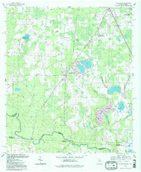
Other maps of this area

1954 · Valdosta
USGS Topo · 1:250,000

1956 · Clyattville
USGS Topo · 1:24,000

1956 · Nankin
USGS Topo · 1:24,000

1956 · Octahatchee
USGS Topo · 1:24,000

1958 · Valdosta
USGS Topo · 1:250,000

1959 · Valdosta
USGS Topo · 1:250,000

1960 · Cherry Lake
USGS Topo · 1:24,000

1960 · Pinetta
USGS Topo · 1:24,000

1961 · Valdosta
USGS Topo · 1:24,000

1961 · Ousley
USGS Topo · 1:24,000