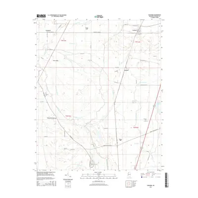
2015 Map of Coahoma
USGS Topo · Published 2015About this map
Coahoma stands as the central hub of this Mississippi Delta landscape, where a dense network of country roads and bayous defines the agricultural character of the region. The map reveals a high concentration of family-named landmarks and historical cemeteries, including the Mount Mariah Cem, Old Dickerson Cem, and Long Cem, which offer significant value for genealogical research. The complex hydrology of the Delta is evident through the winding paths of the Big Sunflower River and the Little Sunflower River, alongside numerous backwaters like Long Lake and Corndike Brake. Small settlements such as Rudyard, Armistead, and Clover Hill are scattered throughout, connected by historical routes like Old US 61 and the Friars Point-Highway 61. The southern portion of the quadrangle highlights the Coahoma Community Coll and the Fletcher Field airport, showing the continued institutional and logistical importance of the area.
Find a feature on this map
62 named features on this map. Tap any name to fly to it.
Don’t see what you’re looking for? This feature index may not catch every label — zoom into the map to look around manually.
Map Details
Editions of this 2015 Coahoma Map
This is the sole edition of this map. No revisions or reprints were ever made.
Other maps of this area

1908 · Lula
USGS Topo · 1:24,000

1908 · Coahoma
USGS Topo · 1:24,000

1908 · Moon Lake
USGS Topo · 1:24,000

1908 · Jonestown
USGS Topo · 1:24,000

1910 · Coahoma
USGS Topo · 1:31,680

1910 · Jonestown
USGS Topo · 1:31,680

1912 · Moon Lake
USGS Topo · 1:31,680

1912 · Lula
USGS Topo · 1:31,680

1932 · Tutwiler
USGS Topo · 1:48,000

1932 · Marks
USGS Topo · 1:48,000