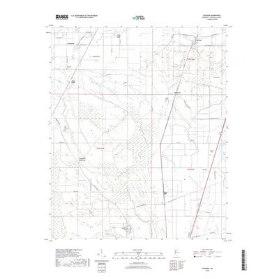
2018 Map of Coahoma
USGS Topo · Published 2018About this map
The Big Sunflower River and Little Sunflower River meander through this stretch of the Mississippi Delta, defining a landscape of low-lying brakes and bayous. In the northern reaches, the town of Coahoma sits near the intersection of Coahoma Moon Lake Rd and Friar Point Rd, serving as a central point for the surrounding agricultural tracts. The terrain is marked by numerous family and community burial grounds, including the Old Dickerson Cem and Mount Mariah Cem, which provide significant touchpoints for genealogical research in Coahoma County.
Find a feature on this map
62 named features on this map. Tap any name to fly to it.
Don’t see what you’re looking for? This feature index may not catch every label — zoom into the map to look around manually.
Map Details
Editions of this 2018 Coahoma Map
This is the sole edition of this map. No revisions or reprints were ever made.
Other maps of this area

1908 · Lula
USGS Topo · 1:24,000

1908 · Coahoma
USGS Topo · 1:24,000

1908 · Moon Lake
USGS Topo · 1:24,000

1908 · Jonestown
USGS Topo · 1:24,000

1910 · Coahoma
USGS Topo · 1:31,680

1910 · Jonestown
USGS Topo · 1:31,680

1912 · Moon Lake
USGS Topo · 1:31,680

1912 · Lula
USGS Topo · 1:31,680

1932 · Tutwiler
USGS Topo · 1:48,000

1932 · Marks
USGS Topo · 1:48,000