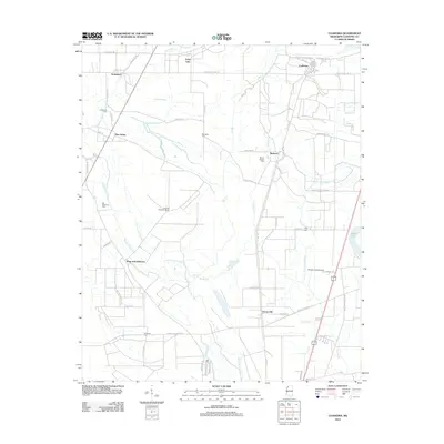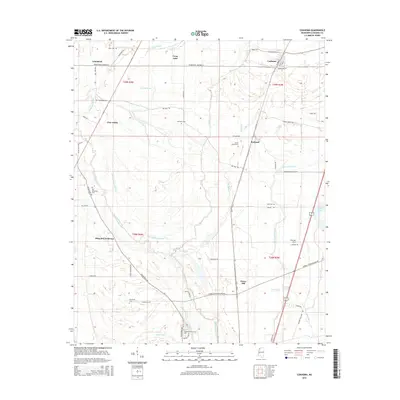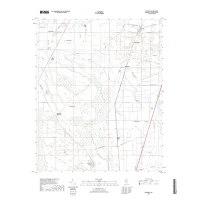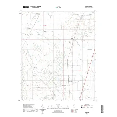
2024 Map of Coahoma
USGS Topo · Published 2024About this map
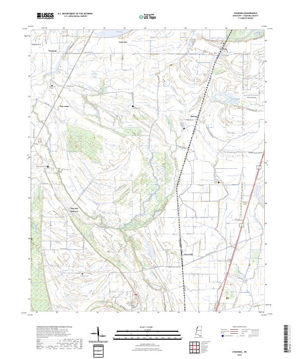
The alluvial plains of the Mississippi Delta define this landscape, where the Big Sunflower River and Little Sunflower River meander through a complex network of wetlands and agricultural tracts. This modern topographic study reveals a deeply entrenched pattern of rural settlement and local education, centered around Coahoma Community College in the south and the township of Coahoma to the north. The area is marked by numerous family and community landmarks, including the Old Dickerson Cem and Mount Moriah Cem, which speak to the long-standing genealogical roots of the region.
Find a feature on this map
64 named features on this map. Tap any name to fly to it.
Don’t see what you’re looking for? This feature index may not catch every label — zoom into the map to look around manually.
Map Details
Editions of this 2024 Coahoma Map
This is the sole edition of this map. No revisions or reprints were ever made.
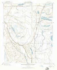
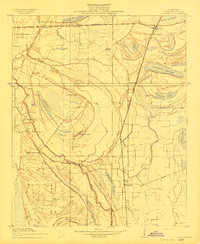
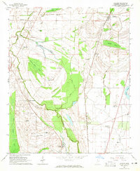
Historical Maps of Coahoma Through Time
8 maps found